


UAV Surveys
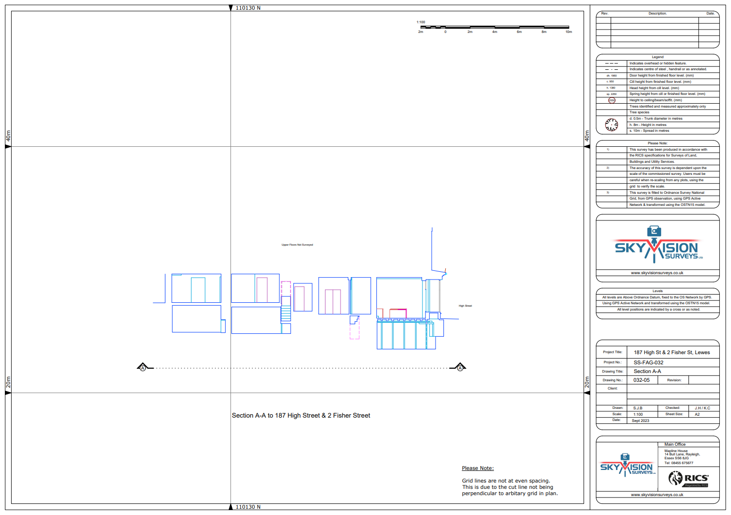
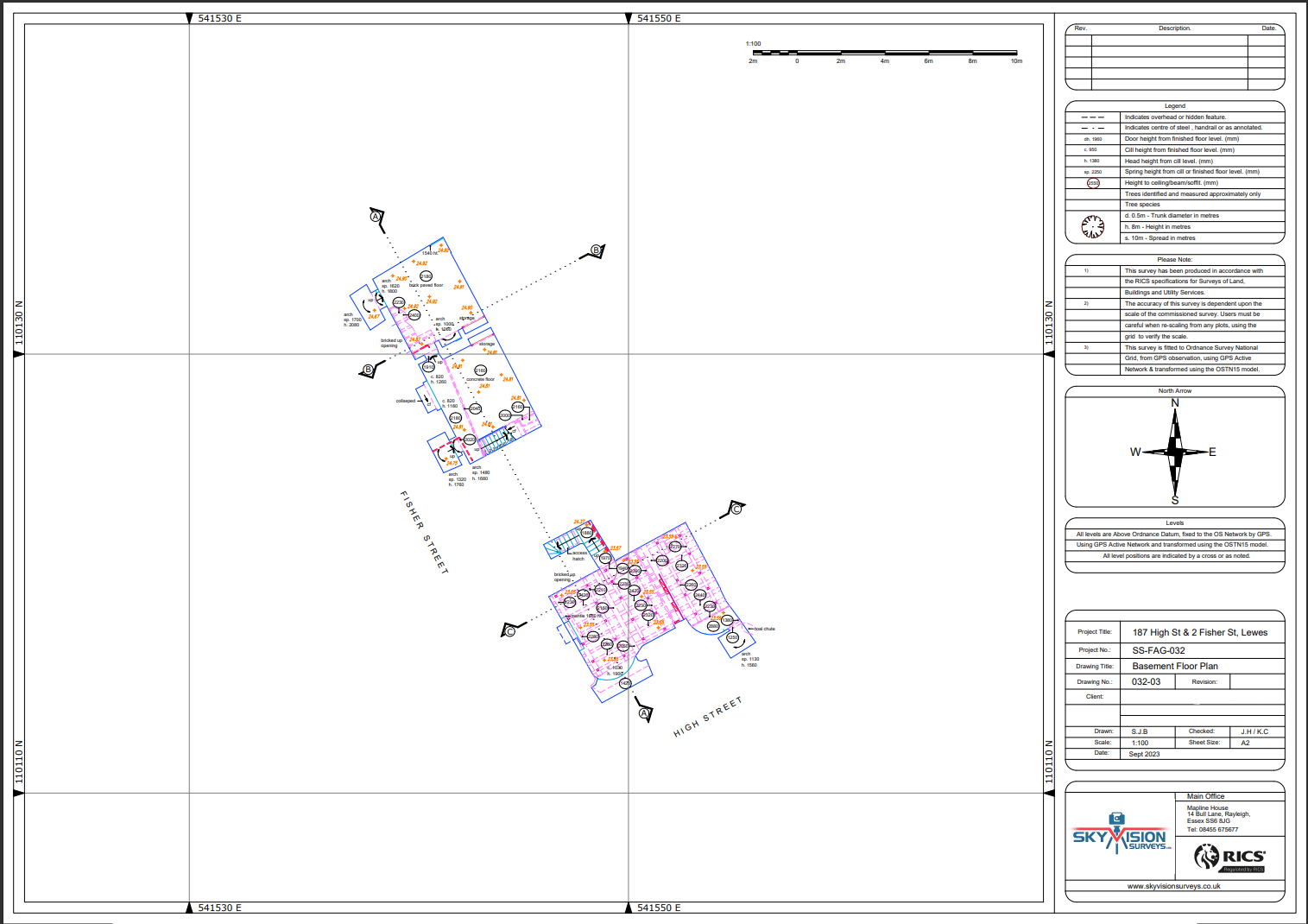
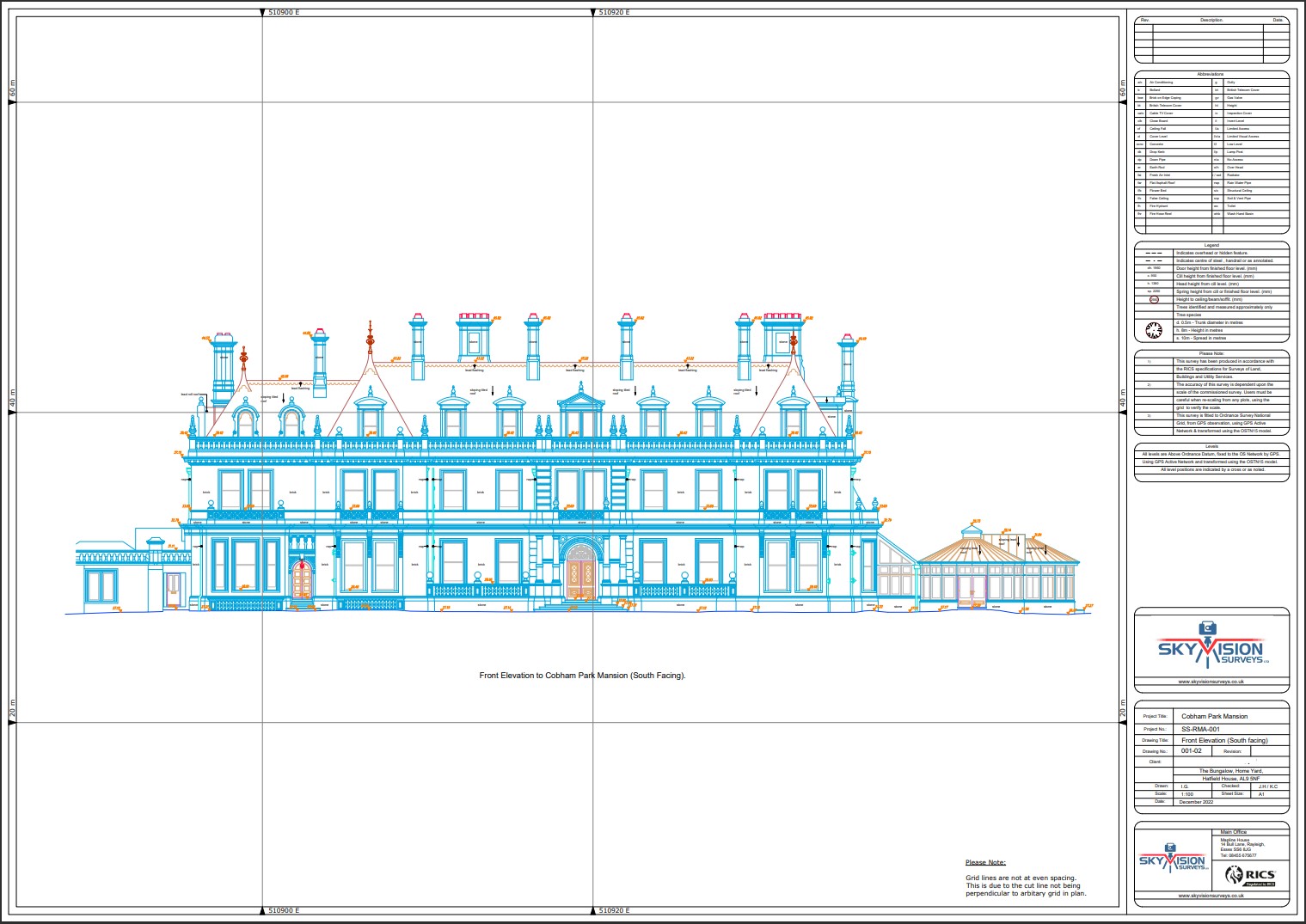
Embark on a journey of precision and efficiency with Subvision Surveys’ UAV surveys. Our pioneering approach combines the latest in unmanned aerial vehicle (UAV) technology with expert surveying methodologies to redefine data collection in various industries.
From sprawling landscapes to intricate infrastructure, our UAV surveys capture rich spatial data with unparalleled accuracy. Whether you require topographic mapping, volumetric analysis, or progress monitoring, trust Subvision Surveys to deliver comprehensive insights that drive informed decision-making and project success.
Experience the future of surveying today with our UAV solutions.
Unsure what services you need?
Feel free to contact the team 0843 378 0353
Our Location
Have Any Questions?
Have Any Questions?
If you have any questions regarding our services feel free to contact the Sky Vision team.
