


Aerial Surveying
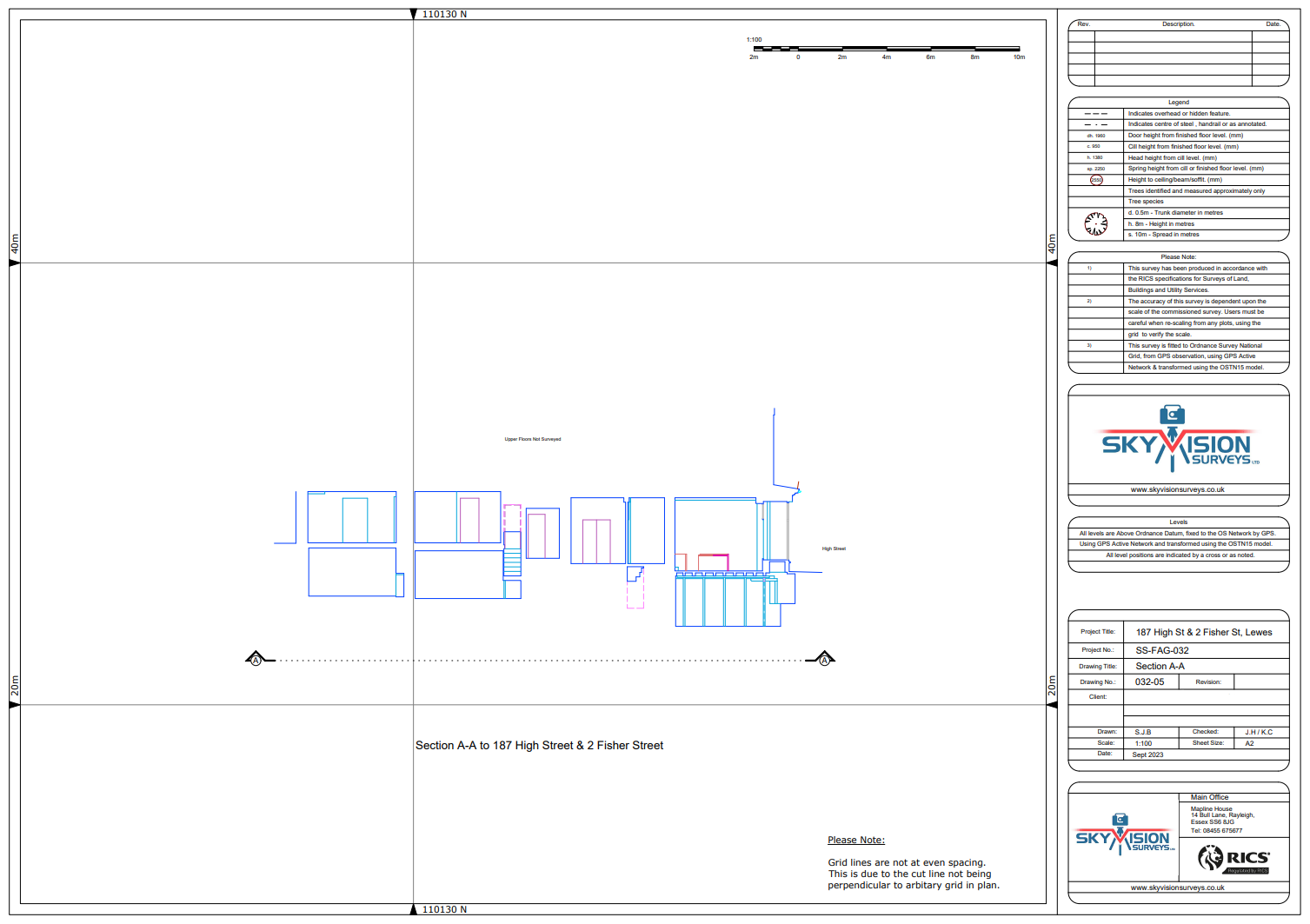
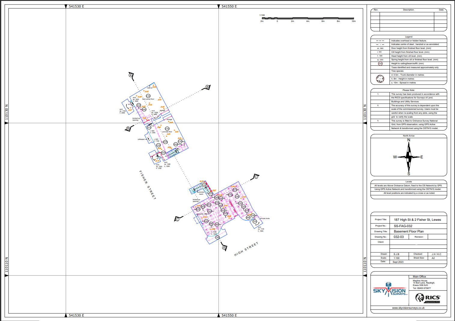
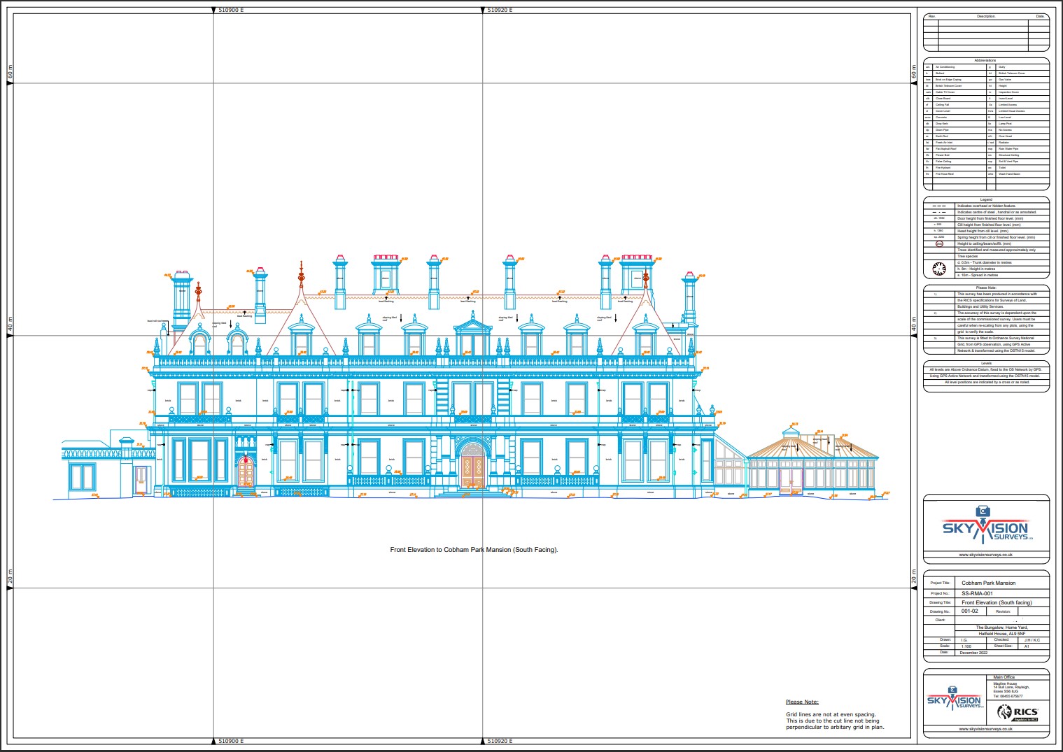
Experience the heights of innovation with Subvision Surveys’ aerial surveying services. Our aerial platforms, equipped with cutting-edge sensors and cameras, transcend traditional surveying methods to provide a holistic view of your project site.
At Subvision Surveys, we go beyond mere imagery, leveraging sophisticated data processing techniques to generate highly accurate maps, models, and analyses tailored to your specific requirements.
From land development to environmental conservation, our aerial surveying solutions empower you with actionable insights, enabling you to navigate challenges and seize opportunities with confidence.
Unsure what services you need?
Feel free to contact the team 0843 378 0353
Our Location
Have Any Questions?
Have Any Questions?
If you have any questions regarding our services feel free to contact the Sky Vision team.
