


Drone Mapping
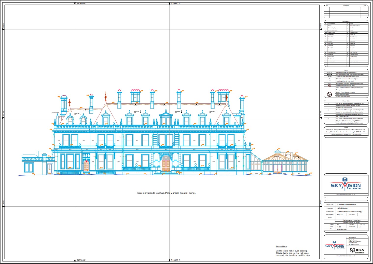
Chart a course towards unparalleled spatial intelligence with Subvision Surveys’ drone mapping solutions. Our innovative approach to aerial data collection and processing sets the benchmark for precision and efficiency in mapping and modelling projects.
By harnessing the power of advanced drone technology and state-of-the-art software, we generate highly detailed maps, orthophotos, and 3D models that empower informed decision-making across diverse sectors.
Whether it’s land surveying, infrastructure planning, or precision agriculture, Subvision Surveys’ drone mapping services unlock new possibilities, enabling you to visualise, analyse, and optimise your projects with unparalleled clarity and confidence.
Unsure what services you need?
Feel free to contact the team 0843 378 0353
Our Location
Have Any Questions?
Have Any Questions?
If you have any questions regarding our services feel free to contact the Sky Vision team.
