


Aerial Surveying with Drones
Aerial Surveying with Drones by Sky Vision Surveys
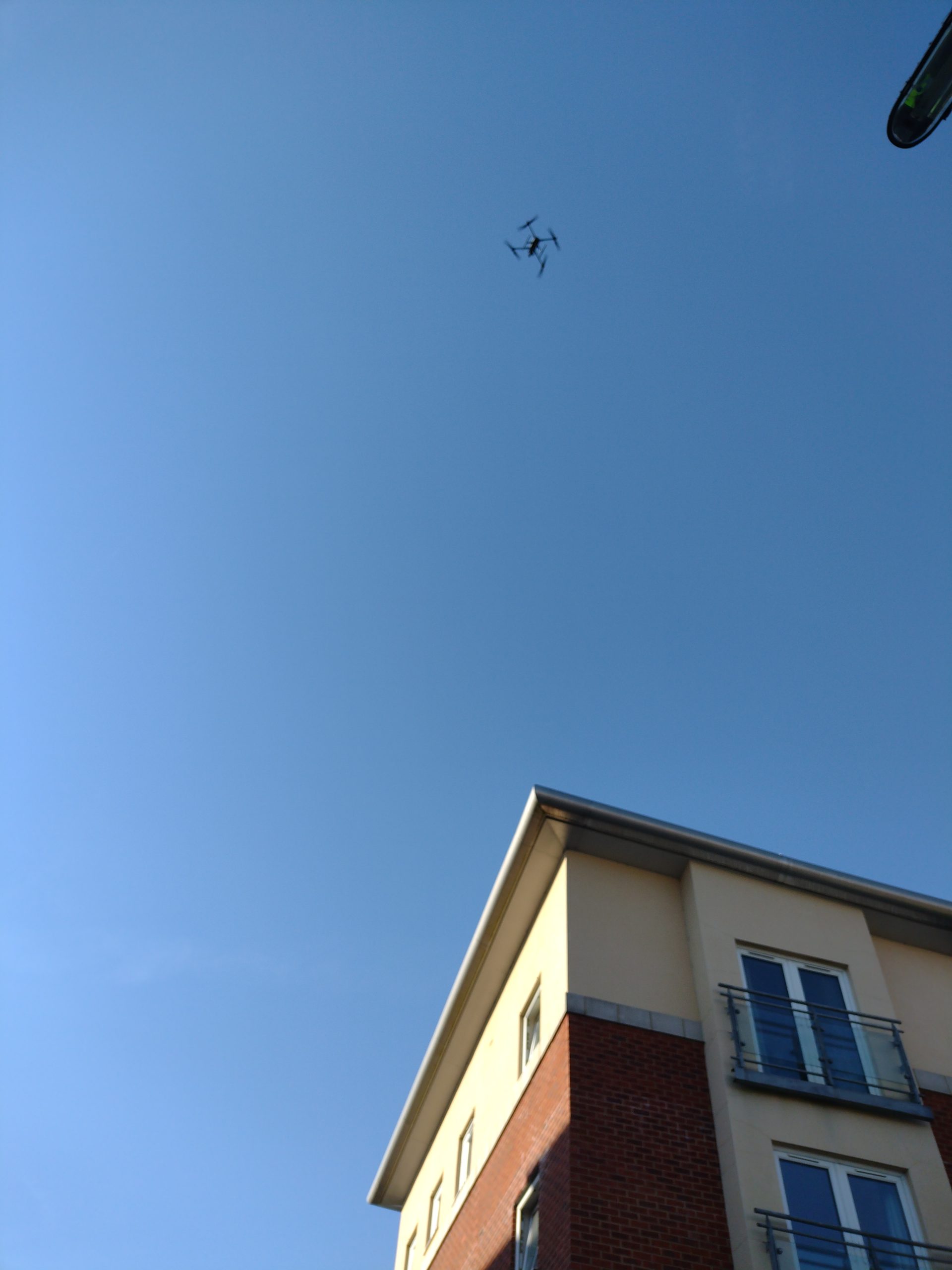
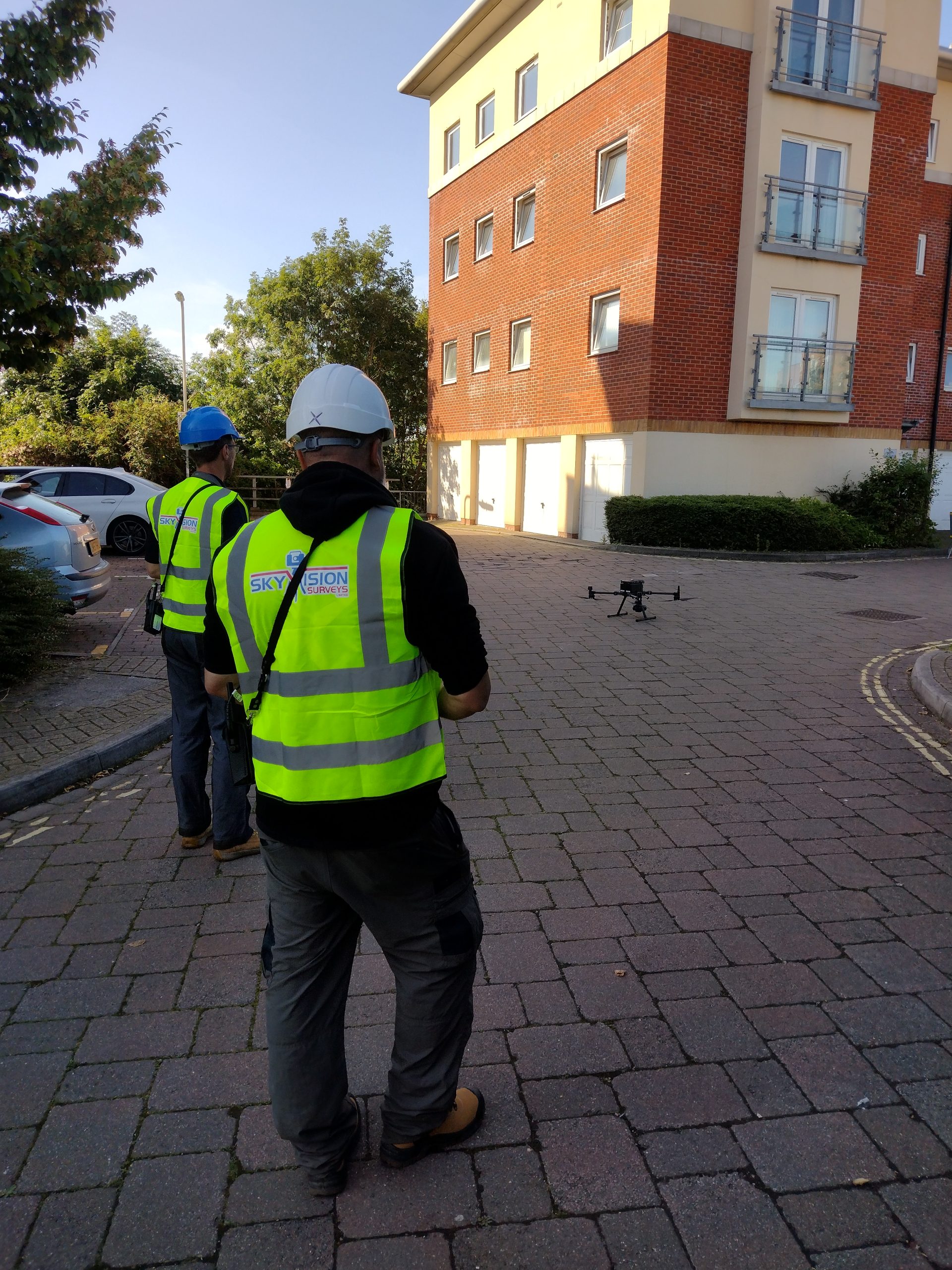
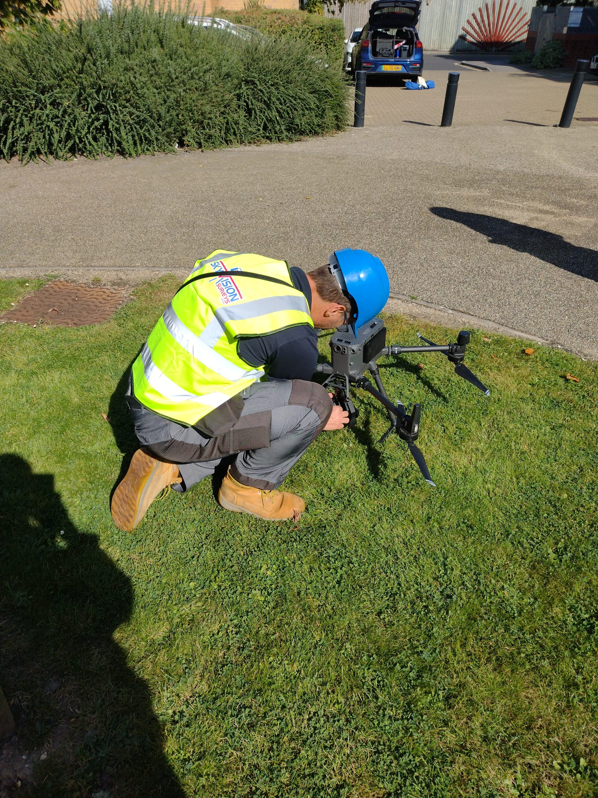
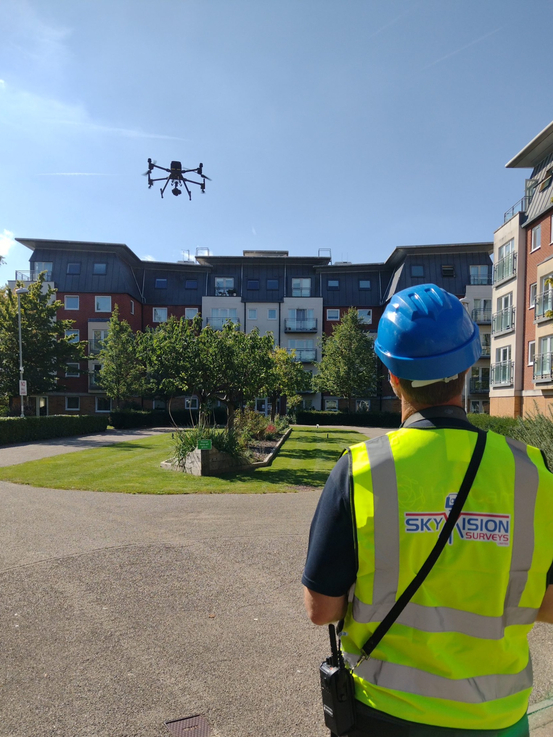
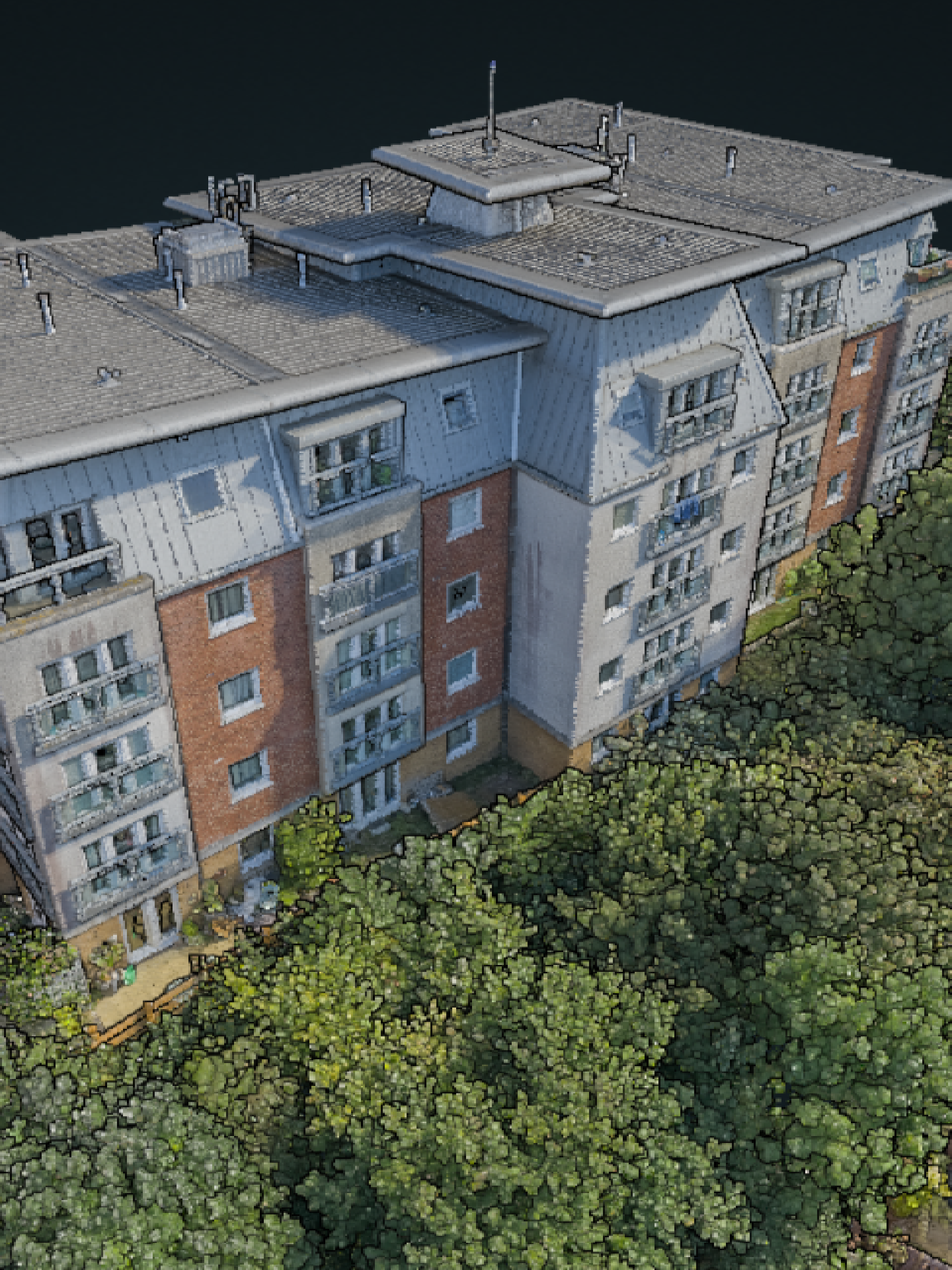
Sky Vision Surveys is at the forefront of the drone revolution in aerial surveying. Our unmanned aerial vehicle (UAV) surveys have ushered in a transformative era in the surveying and mapping industry. We harness the capabilities of advanced drones equipped with high-resolution cameras, LiDAR sensors, and thermal imaging technology to capture intricate aerial imagery and collect precise geospatial data. Our approach is not only cost-effective but also remarkably efficient.
Sky Vision Surveys is committed to providing tailored, state-of-the-art solutions to meet the unique demands of your industry. Experience the future of aerial surveying with us. Contact us today to discuss your project requirements and unlock the endless possibilities offered by our drone technology.
Unsure what services you need?
Feel free to contact the team 0843 378 0353
Our Location
Have Any Questions?
Have Any Questions?
If you have any questions regarding our services feel free to contact the Sky Vision team.