
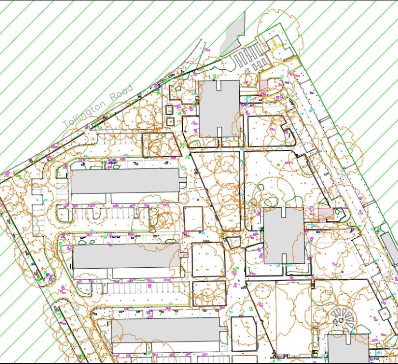

Topographic Surveys
Topographic surveys by Sky Vision Surveys capture natural and manmade surface features in a standardised digital format, forming the foundation for site investigations and development. Their surveys adhere to RICS guidelines, ensuring recognised quality. Deliverables are provided in standard CAD formats, promoting ease of use for further work like planning and design.
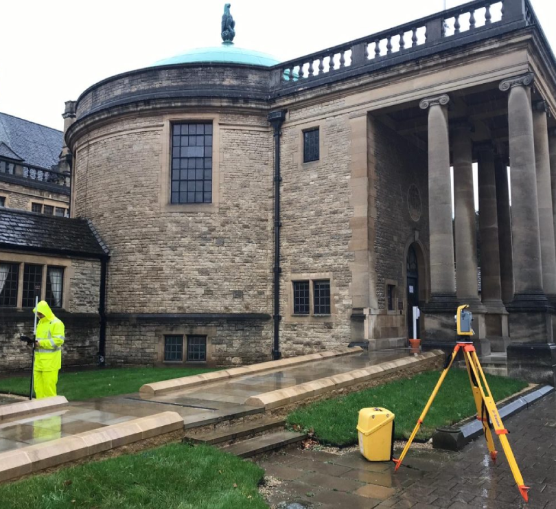
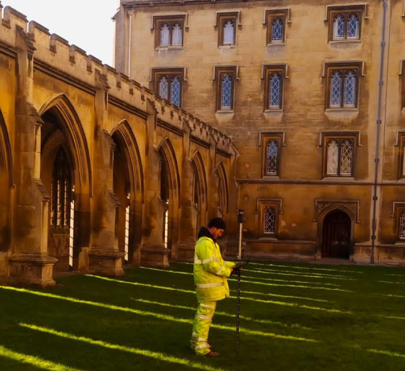
Sky Vision Surveys offers topographical surveys across the UK, supporting projects of all sizes with accurate and reliable site data. The use of advanced scanning total stations and GNSS equipment allows for cost-effective data collection with small teams, while integration with laser scanning provides a detailed 3D site record.
Applications encompass various projects from construction to environmental restoration, drainage analysis, and more. Sky Vision Surveys optimises methods to meet clients’ needs, offering complementary geospatial services such as utility mapping and UAV surveys for added efficiency.
Unsure what services you need?
Feel free to contact the team 0843 378 0353
Our Location
Have Any Questions?
Have Any Questions?
If you have any questions regarding our services feel free to contact the Sky Vision team.