

Preparing for the Survey
Before starting, it is important to review the site requirements and gather any existing information, such as previous drawings or site plans. Surveyors will identify key features that need to be captured and plan the most efficient way to cover the area.
Establishing control points is also a critical step. These fixed reference points ensure all measurements are consistent and accurately positioned, forming the foundation for the rest of the survey data.
Carrying Out the Survey
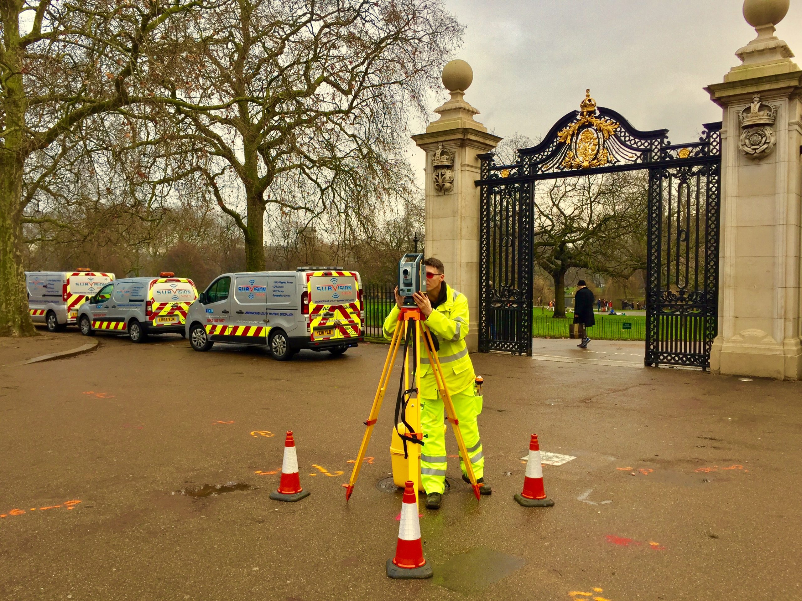
The survey is typically carried out using equipment such as total stations, GNSS receivers, or laser scanners. These tools allow surveyors to capture precise measurements of both ground levels and site features.
Data is collected systematically across the site, recording changes in elevation as well as the position of physical features like walls, kerbs, and utilities. Careful coverage ensures that no important details are missed, particularly on complex or uneven terrain.
Processing the Data
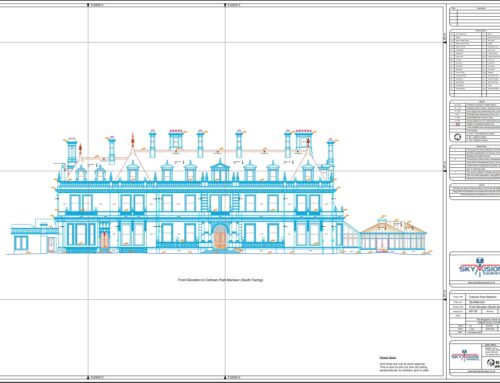
Once the fieldwork is complete, the collected data is processed using specialised software to create a detailed topographic drawing. This includes contours, spot levels, and clearly defined features that represent the site accurately.
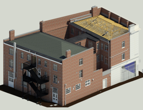
The final output is usually provided as a 2D drawing or 3D model, depending on project requirements. This information can then be used by architects, engineers, and planners for design and analysis.
Ensuring Accuracy and Reliability
Accuracy is essential in a topographic survey, as design decisions rely on the data provided. Checks are carried out during and after the survey to verify measurements and ensure consistency across the site.
Experienced surveyors also interpret the data carefully to present it in a clear and usable format. This helps reduce the risk of errors in later stages of a project and supports smoother planning and construction processes.






Leave A Comment